Measuring Urban Mobility and Accessibility Using OpenTripPlanner Analyst
mattwigway
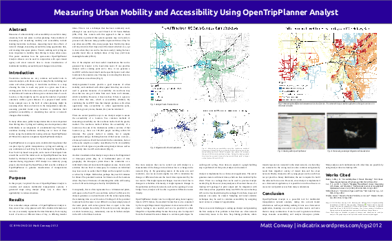
I presented a poster on OpenTripPlanner Analyst at the California Geographical Society 2012 conference. Here are the poster and some companion materials:
Poster (PDF, 1.7MB)—the poster itself.
Maps (PDF, 7.8MB)—all of the maps that were present on the poster. Some were somewhat small, here is a PDF of all of them in vector format, suitable for stretching across the sides of large buildings.
Methodology (PDF, 207KB)—the methodology behind making each of the figures. This is a more in-depth, technical explanation than was provided on the poster itself.
You may also want to visit the homepage of the OpenTripPlanner Project.
Finally, you may want to see some of the other things I’m working on by visiting my blog.